 O-Sense
پلت فرم کامل مهندسی نفت | Petrel 2022.5 + Plugin
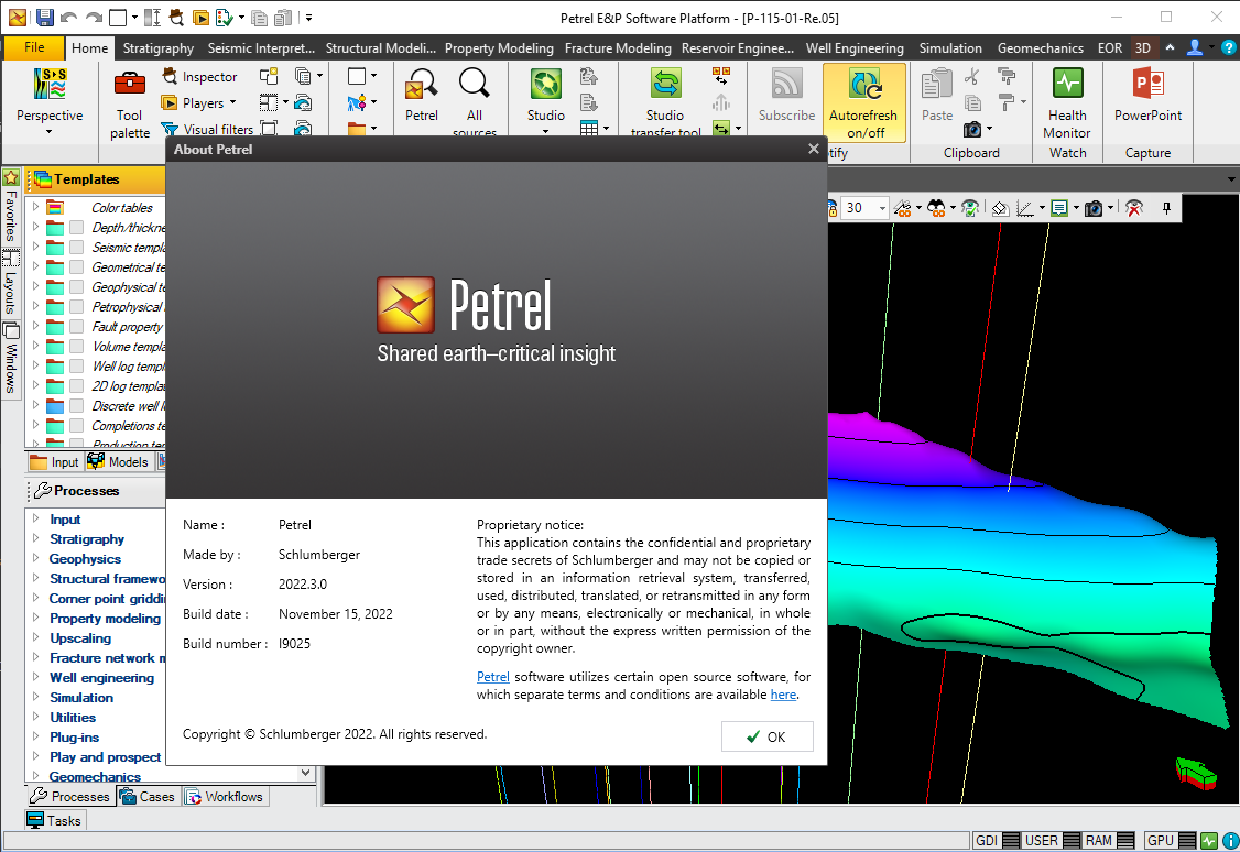
Finding, characterizing, and exploiting new and existing reservoirs is increasingly complex. To overcome these challenges, we must continually improve and innovate the way we work. With the Petrel E&P Software Platform, Schlumberger revolutionized the oil and gas industry by bringing disciplines together with best-in-class science in an unparalleled productivity environment. Our commitment to Petrel resulted in dramatic strides forward in the way we develop and deliver a software platform, and with the Petrel 2022.5 Platform and update releases, we continue to deliver on our promise of better integration, deep science, and productivity. Today we support an engineering team unrivaled in size and expertise, empowered by the Ocean software development framework. More than ever before, we are positioned to help you develop critical insights into reservoirs throughout the oilfield lifecycle. With this Petrel E&P Software 2022.5 major release, Schlumberger continues its commitment to improve and innovate the way you work. Petrel allows multi-domain experts to co-create a shared earth model that can be continuously updated as new information is acquired. These release notes contain short descriptors for the most significant enhancements, fixed issues, and known limitations, as well as system requirements and recommendations.