مدل سازی زمین شناسی

مدیریت اطلاعات زمین شناسی | PetroSys 2021.2.4

نوشته شده توسط Super User. ارسال در مدل سازی زمین شناسی

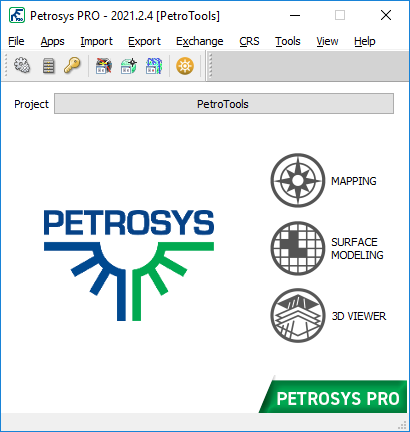
Petrosys is the leader in mapping, modeling and data management solutions for the oil & gasindustry – uniquely integrated with the broadest range of specialist geoscience and GIS applications. Petrosys produces quality maps and visualizations. It aggregates, manages and analyzes the underlying data – for actionable results that communicate with clarity and accuracy. Petrosys is the industry leader in mapping, surface modeling and data management software solutions – delivering direct connectivity with the E&P industry’s most popular exploration, production and GIS data sources. Petrosys produces high quality maps and surface models. It manages, edits, and analyses the underlying information including the specialised seismic, well and geoscience data used in the search for oil and gas. Geoscientists, data managers and engineers at more than 300 sites worldwide use Petrosys software as an essential tool for basin and field interpretation, to enhance enterprise data management and to help make better decisions.


مطالعه زمین شناسی ساختمانی | Move 2020

نوشته شده توسط Super User. ارسال در مدل سازی زمین شناسی

The MOVE suite 2020 is the most complete structural modelling and analysis toolkit available. It provides a full digital environment for best practice structural modelling to reduce risk and uncertainty in geological models. The MOVE suite provides a platform for integrating and interpreting data, cross-section construction, 3D model building, kinematic restoration and validation, geomechanical modelling, fracture modelling, fault response modelling, and fault & stress analysis.


ساخت مدل زمین شناسی | Geomodeling 2022

نوشته شده توسط Super User. ارسال در مدل سازی زمین شناسی

Geomodeling Technology Corp. is a leading innovator of seismic attribute analysis and multi-scale reservoir modeling software and services for the upstream exploration and production industry. We enable petroleum companies to maximize revenue and reduce costs with software solutions and project-based services for improved reservoir characterization and recovery. We are a privately-held global company with headquarters in Calgary, offices in Beijing and Houston, and customers around the world.


مدل سازی زمین شناسی | OpenFlow 2022.1

نوشته شده توسط Super User. ارسال در مدل سازی زمین شناسی

OpenFlow Suite 2022 is another step forward in the continuous development of Beicip-Franlab E&P Software Suite. Bringing new capabilities, more user-friendliness and better performances, OpenFlow Suite is now more than ever a complete platform for basin, petroleum system and reservoir assessment to address the O&G industry challenges, while engaging in the energy transition with solutions for geothermal and carbon storage modeling.


مدل سازی ساختمانی | Andino 3D 2.0.1.0

نوشته شده توسط Super User. ارسال در مدل سازی زمین شناسی

Andino 3D is a structural modeling software that allows the integration of all the information available in your company or area of interest in a three-dimensional environment. A tool that allows the integration of mixed geological and geophysical information. Handle digital topographies, raster images, 2D and 3D seismic, well information, vector maps, surface and subsurface structural information. You can organize information linking to external files.


درباره PetroTools


تیم PetroTools با داشتن کادری مجرب، ارائه دهنده کلیه نرم افزارهای مهندسی نفت، مخزن، زمین شناسی، پتروفیزیک، لرزه نگاری و غیره می باشد. جهت تهیه نرم افزارهای مورد نیاز خود، از طریق منوی تماس با ما در خواست خود را ارسال کنید.